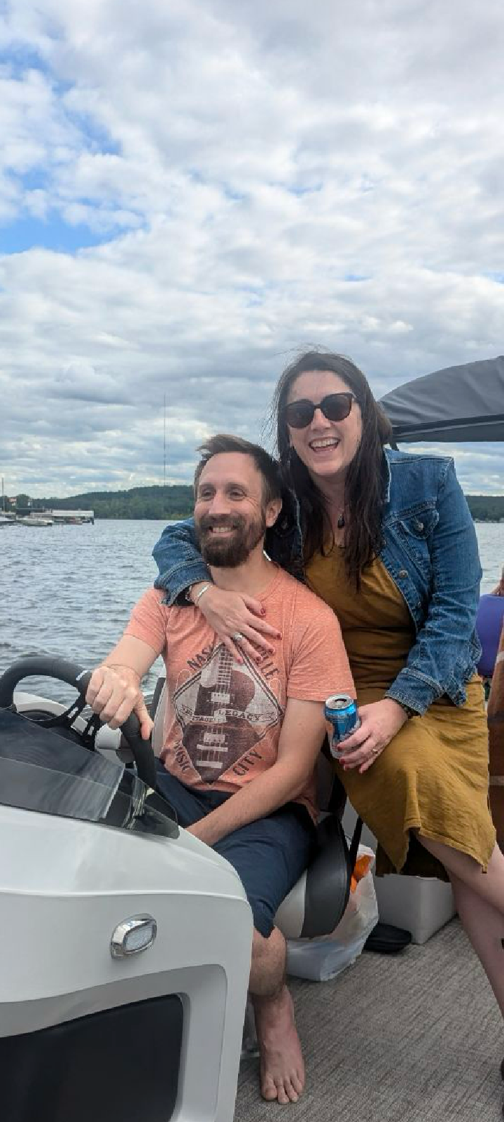
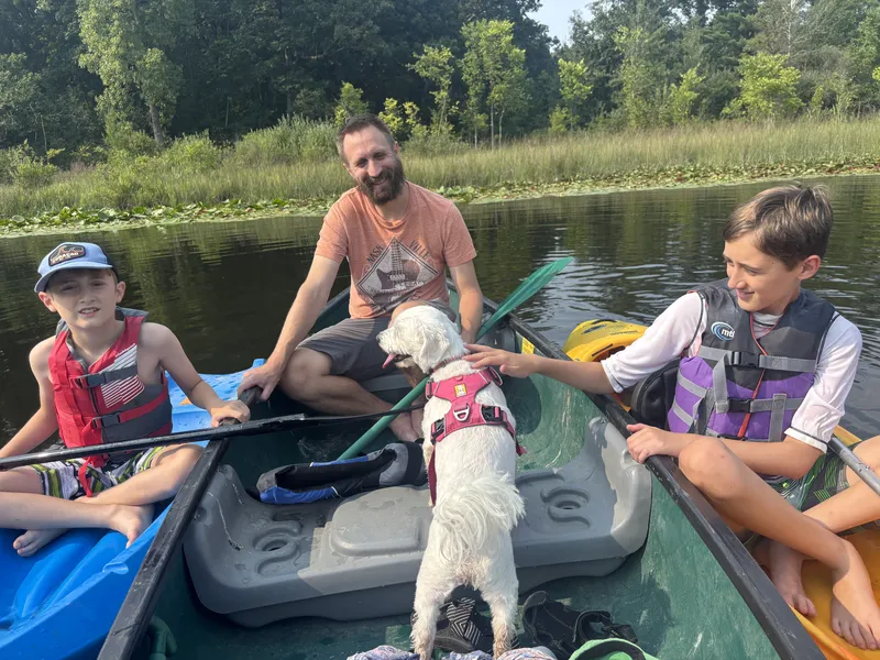
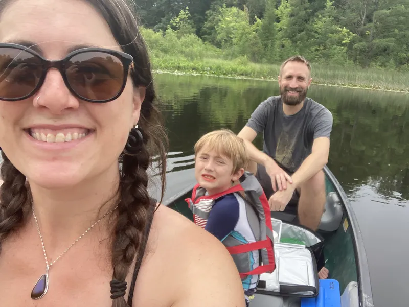
I'm Alex. I spent my early years on Saipan — glass-bottom boats, reef walks, the Pacific at my doorstep. When my family moved to Harbor Springs around age eleven, the Great Lakes replaced the ocean but the pull of water never changed. Windsurfing, canoeing, pontoon cruises, beach days — if it involved water, I was in.
I met my wife Gillian near those same Northern Michigan shorelines. Now we're raising our family here, and I started ShorelineScout because I wanted to actually learn Michigan's lakes — all of them, not just the famous ones. Turns out there are a lot. The project grew into something I hope helps other people discover, explore, and enjoy them too.
The goal is simple: put the most complete, most accessible lake and launch information in one place, written so it's actually useful. I've added as much of my own curated notes as I can, and I plan to keep updating and expanding. But more than a directory, I hope this becomes a place that encourages people to get out on the water.
1,706 lakes & rivers · 1,164 boat launches · 291 webcam locations · 339 live feeds · and growing
Last updated March 2026
Share local knowledge
Got a tip about a launch, a lake, or a spot worth knowing about? Photos of a ramp? Noticed something wrong? I review every submission — if it checks out, it goes on the site. You can choose to be credited as a contributor.
Share a tip or photo →How ShorelineScout works
Where does the data come from?
Launch data comes from the Michigan DNR's public boating access database (1,166 sites). Lake information is sourced from Wikipedia, Google Maps, watershed councils, and DNR records. Campground, beach, and marina data comes from Google Places. I verify and curate as much as I can by hand.
Does ShorelineScout use AI?
Yes, openly. AI helps process and organize data across hundreds of lakes — synthesizing reviews, generating FAQ answers, and structuring information. Every page is built from real data sources (DNR records, Google reviews, Wikipedia). I review the output and continue to add my own notes and corrections. AI is a tool here, not a replacement for local knowledge.
How often is the site updated?
I update regularly — adding new lakes, improving existing pages, and incorporating tips from users. Launch conditions and seasonal info get priority before summer. If you notice something outdated, the contact form above goes straight to me.
What are the webcams?
ShorelineScout links to 74 live webcams across Michigan's shoreline — beach cams, harbor cams, marina cams. They're operated by local tourism bureaus, businesses, and organizations. We link directly to their feeds with full credit. Great for checking conditions before you head out.
Can I contribute?
Absolutely. Local knowledge is what makes this site different from a generic directory. Use the contact form above to share launch tips, lake intel, corrections, or photos. I'd especially love to hear from people who know the less-documented lakes.